
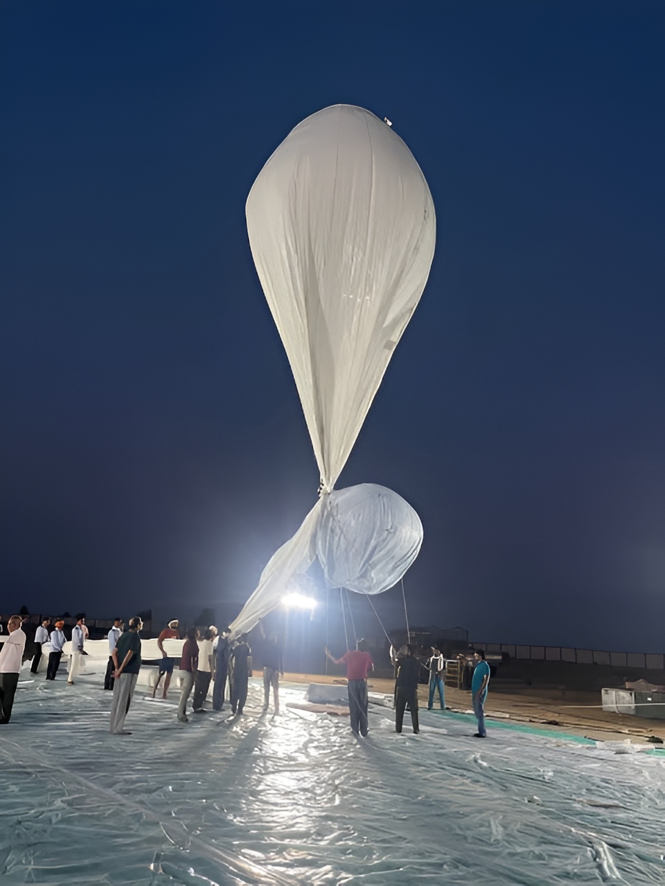
Indigenous lighter-than-air system reaches 21 km altitude during flight trial, supporting India’s high altitude surveillance ambitions.
India’s Defence Research and Development Organisation (DRDO) has successfully flight-tested a domestically developed High Altitude Platform (HAP) for long endurance surveillance and Communication capabilities. The Press Information Bureau of the Ministry of Defence issued a statement: “The experimental platform attained an altitude of 21 kilometres above mean sea level (AMSL) and hovered at 20 kilometres (AMSL) for over 30 minutes before being commanded to descend. The flight test system was recovered successfully, and post-flight performance data was analysed. The lighter-than-air platform, a potential long endurance, stratospheric surveillance system, is being developed by DRDO’s Aerial Delivery Research and Development Establishment (ADRDE), Agra.”
High-altitude platforms would enhance the satellite, aircraft, and existing UAS fleet by enabling constant monitoring of an area. These platforms might be used for border monitoring, intelligence collection, weather monitoring, communications support, etc. Its utility will be based on how long the platforms can stay in flight, how much equipment they can carry, and how well they can withstand the weather and stay where they are supposed to, which is called station-keeping. The trials required coordination with the Indian Air Force, CEMILAC, the Directorate General of Civil Aviation, the Airport Authority of India, and other organizations. “During the flight test, engineers at the ground control station collected real-time video as well as vehicle parameter data. The high-altitude platform payload carried an inertial measurement unit, a Global Positioning System (GPS) receiver, onboard cameras, an altitude-control system, and other electronic subsystems,” the statement mentioned.