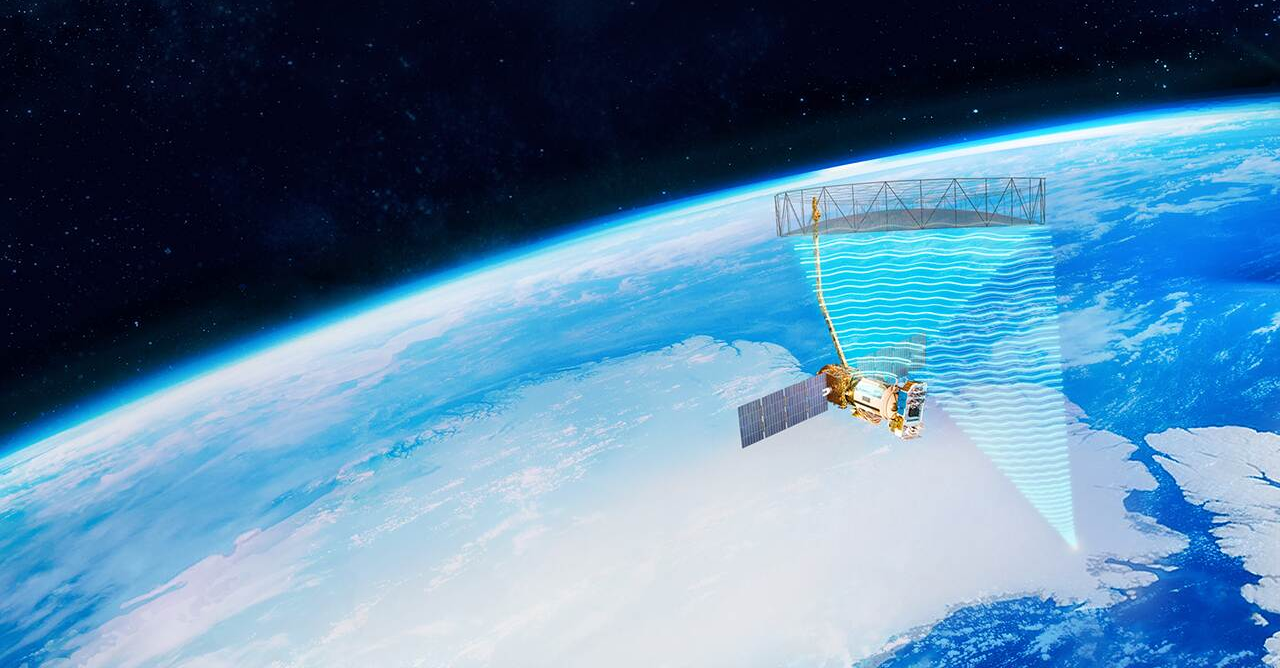
Changing geophysical systems are observed from frost in forests to shifting ice packs by satellites equipped with advanced semiconductors. For centuries, human beings have been trying to figure out how to connect environmental occurrences. Suppose a frost attack happens far away in the forest, only to be followed by a heavy storm that causes silt deposits in a harbor far away; then, such cause-effect patterns are nearly impossible to observe on the ground. Modern earth-observation satellites make these connections clearer than ever due to state-of-the-art imaging techniques and ruggedized semiconductor components built to reside in space.
There goes the big picture with imaging methods.
Optical, radar, and infrared imaging combine to provide a multidimensional view of Earth.
- Optical imagery may see changes in the visible spectrum weather, ash clouds, and landscape.
- Radar imaging penetrates clouds to get details of the ground, with synthetic aperture radar being a higher resolution system thanks to the usage of orbital motion to synthesize enormous antennas.
- Infrared and hyperspectral imaging convey the composition of the soil, atmosphere, and temperature variation.
Put together, these imaging methods track environmental change over time: predicting ice sheets shrinking, sea levels rising, or shifts in the ecosystem.
Making satellites that last
While the imaging isn’t new, the instrumentation has to be created so that components can withstand radiation, extreme temperatures, and years without maintenance. Here semiconductor classifications and packaging play a big role.
- QML Class V devices coated with hermetic ceramic are suitable for high-radiation environments with long-term operational reliability.
- QML Class P devices, on the other hand, use specialized plastic packaging, thus creating a balancing act between durability and small size, leading to more compact and capable satellites.
- Radiation-tolerant components satisfy low Earth orbit purposes with cost sensitivity, implementing proven resilience for their relatively reduced lifespans.
These classifications enable designers of satellites to take into consideration whether the mission requires long-term monitoring from geosynchronous orbit or urgently supplying large constellations in low Earth solutions.
Preparing for challenges to come
Satellites can constantly monitor Earth for years because to dependable, radiation-hardened semiconductors, giving scientists and decision-makers vital data. Researchers are better equipped to foresee potential hazards and make wise judgments when they can see how environmental interactions, such as temperature changes and soil chemistry, change over time.
The Earth is billions of years old, and we have only been measuring it for the smallest fraction of time, according to Jason Clark, systems manager for Space and Avionics at Texas Instruments. We are assisting scientists in preparing for the future by collaborating with them today.
(This article has been adapted and modified from content on Texas Instruments.)


